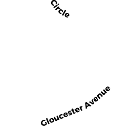
5 GLOUCESTER AV
Owner Information
SOMERS ROBERT J & LORRAINE F
5 GLOUCESTER AV
GLOUCESTER, MA 01930


Property Details
5 GLOUCESTER AV is classified as a Two-Family Residential (Family duplex).
The primary structure on this property was built in 1900. There are 3,962ft2 of built area within this property. There is 2,205ft2 of residential/living space within this property.
5 GLOUCESTER AV is valued at $417,100. The land is valued at $116,500 and the structures are valued at $300,600.
This property is in Zone R-5. Confirm with local Zoning Board authorities to ensure there are no overlays or other easements on this property.
The most recent deed for 5 GLOUCESTER AV is recorded at the local registrar in Book 18409, Page 1. 5 GLOUCESTER AV was last sold on Monday, March 4, 2002 for $0.
Assessment data from fiscal year 2022.
Flood Data
According to the FEMA National Flood Hazard Layer, this property does not appear to be in a flood zone. It may also be in an area not yet reviewed. Nonetheless, confirm this information prior to taking any action.
To view the flood hazards around this property, create a FEMA "Firmette" Map of the area around 5 GLOUCESTER AV.
Broadband Internet Providers
| Provider | Type | Bandwidth (mbps) | |
|---|---|---|---|
| Viasat Inc | Satellite | 100 | 3 |
| Verizon New England Inc. | DSL | 15 | 1 |
| Comcast | Cable | 1000 | 35 |
| T-Mobile | Fixed Wireless | 25 | 3 |
| GCI Communication Corp. | Satellite | 0 | 0 |
| HughesNet | Satellite | 25 | 3 |
| VSAT Systems, LLC. | Satellite | 2 | 1 |
Broadband service provider data from December 2020.
Adjacent Properties
- 3 GLOUCESTER AV
Single Family Residential owned by PHILBRICK WILLIAM F & PATRICIA A - 7 GLOUCESTER AV
Two-Family Residential owned by NICASTRO JOHN B TR NICASTRO FA - 6 HAYWARD RD
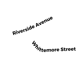
Single Family Residential owned by TOPPAN WILLIAM E JR - 29 RIVERSIDE AV
Single Family Residential owned by REPPUCCI ANTHONY & LISA M TRS - 31 RIVERSIDE AV
Single Family Residential owned by SMITH JANET LEE